The Atlas

Port Fairy
picturesque beaches, historic buildings
Waves meet the river.
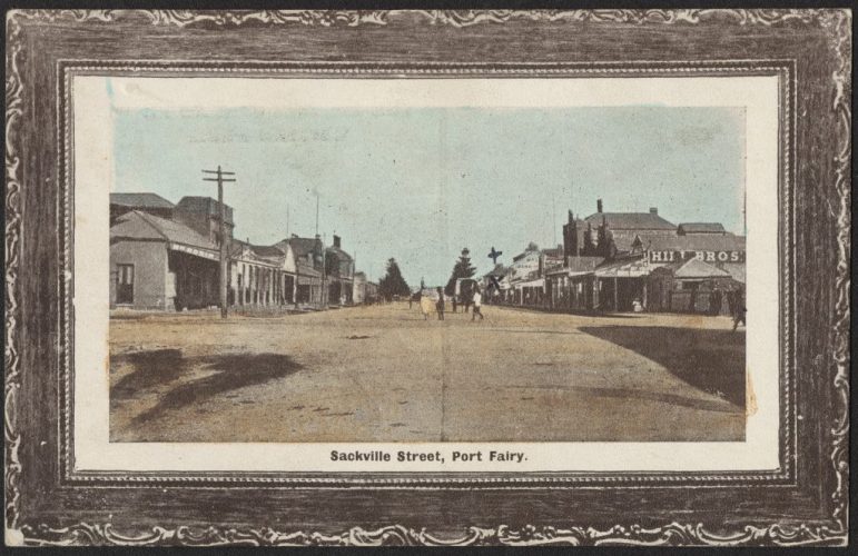
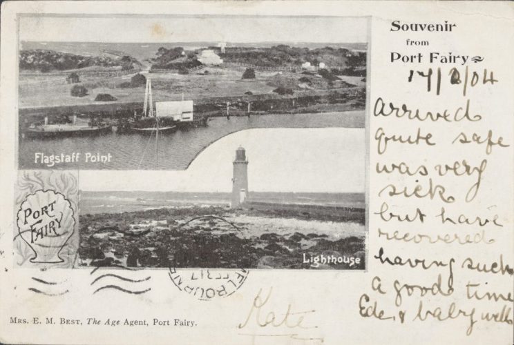
Port Fairy is a beautiful coastal town located at the point where the Moyne River meets the Southern Ocean in south-west Victoria. The town has a rich history dating back to the early 1800s and is known for its well-preserved historic buildings and architecture that provide a glimpse into its past.
Originally named “Belfast,” Port Fairy was established by John Griffiths, who set up a whaling station in the area in 1835. The town’s name was inspired by Griffiths’ hometown of Belfast in Ireland. During the 19th century, Port Fairy was a major port for the whaling industry, with many whaling ships anchored in the Moyne River. This industry brought prosperity to the town, but it also led to the decline of whale populations in the region.
In the mid-19th century, Port Fairy became a popular destination for Irish immigrants who were fleeing the Great Famine. These immigrants settled in the town and contributed significantly to its culture and community.
Historic walks or fun on the water.
Today, Port Fairy is a popular tourist destination, with fishing and various tourist attractions being some of the main draws. One of the town’s most notable events is the Port Fairy Folk Festival, which has been held annually across the Labour Day long weekend in March since 1977. This event features live music, food and drink, and performances, and draws in many tourists to the town.
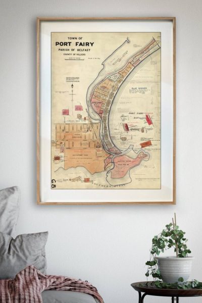
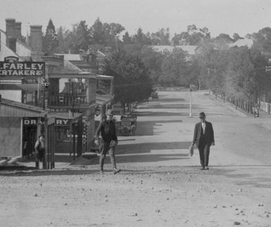
Visitors to Port Fairy can explore the town’s fascinating history by taking a stroll through the Port Fairy Historic Walk, which is a self-guided tour of the town’s historic buildings and sites, including the courthouse, post office, and several churches. The town’s historical maps provide an interesting overview of the area’s past and how it has changed over time.
“Moonlight near Port Fairy” – R. Scott. 1905
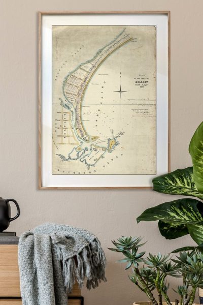
Historic maps
The history of Port Fairy can be explored through various maps that have been created over the years. These maps show how the area has changed over time and provide an insight into the town’s past. The earliest known map of Port Fairy dates back to the 1840s when the town was still known as Belfast. This map shows the town’s layout and highlights key landmarks, such as the wharf and the courthouse. By comparing this map to more recent ones, visitors can see how the town has grown and evolved over time. Through these historical maps, we can gain a better understanding of the unique history of Port Fairy.

