Municipality map prints
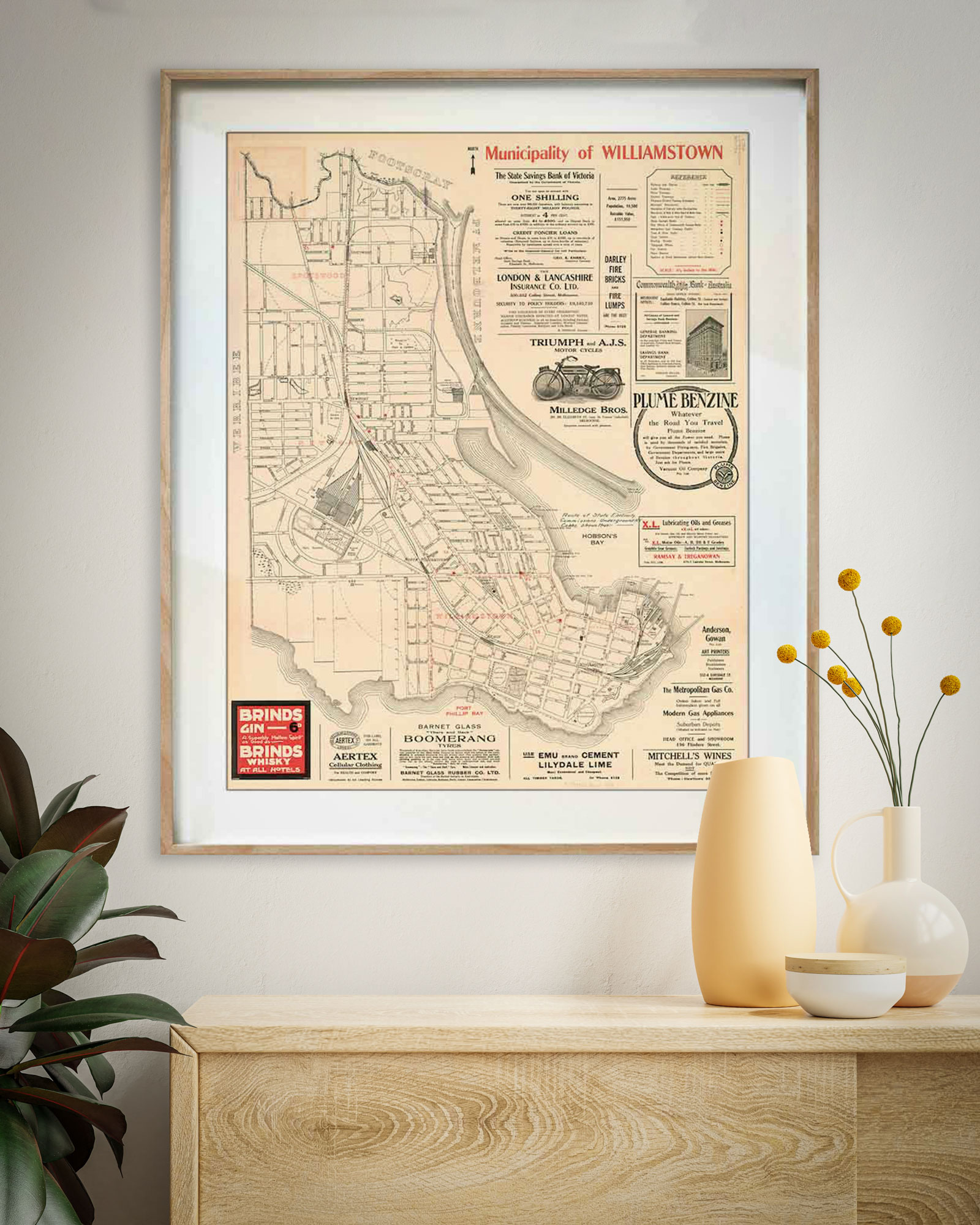
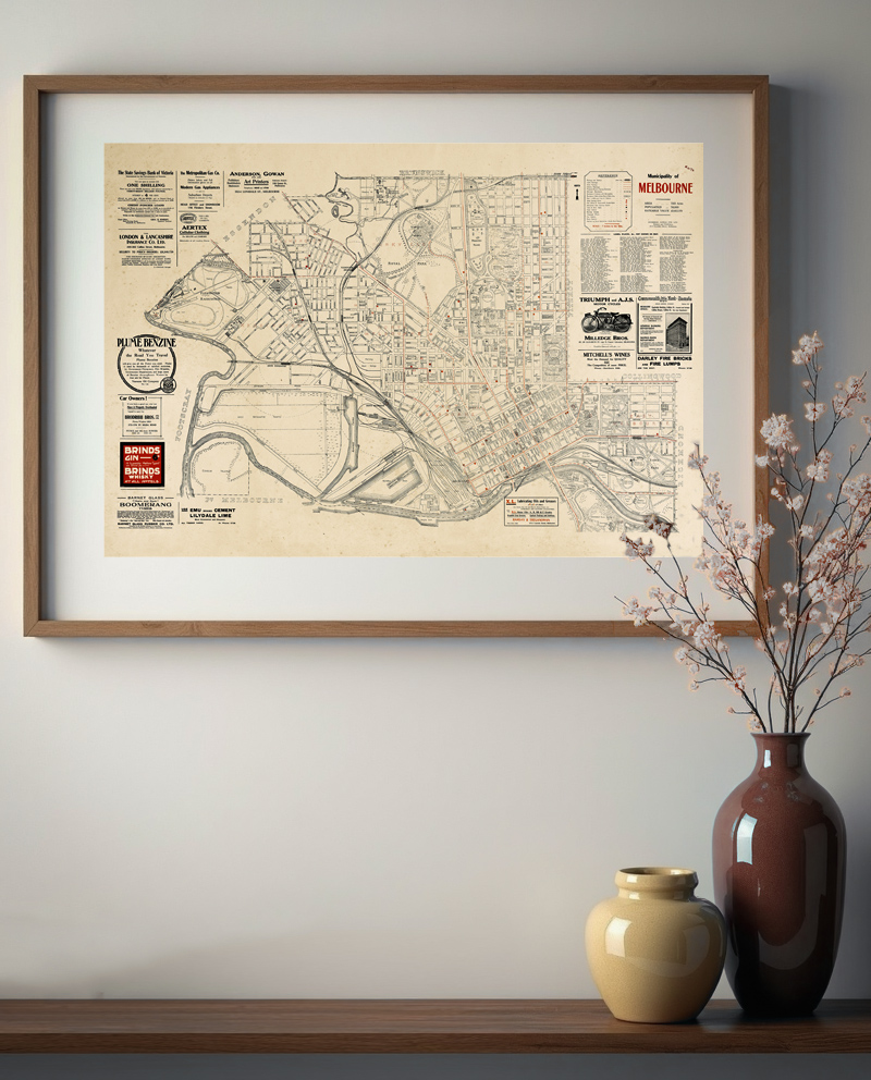
Find your street on a 1920s Melbourne municipality map
From Prahran’s bustling Greville Street to Hawthorn’s tree lined streets, each map captures your suburb in extraordinary detail. Every street named, the tram lines and the railway, the parks and the reserves, and the period advertisements crowding the border.
These aren’t decorative prints, they’re discovery experiences. You’ll spend time tracing familiar roads, finding where your home would be, spotting what’s changed and what remains.

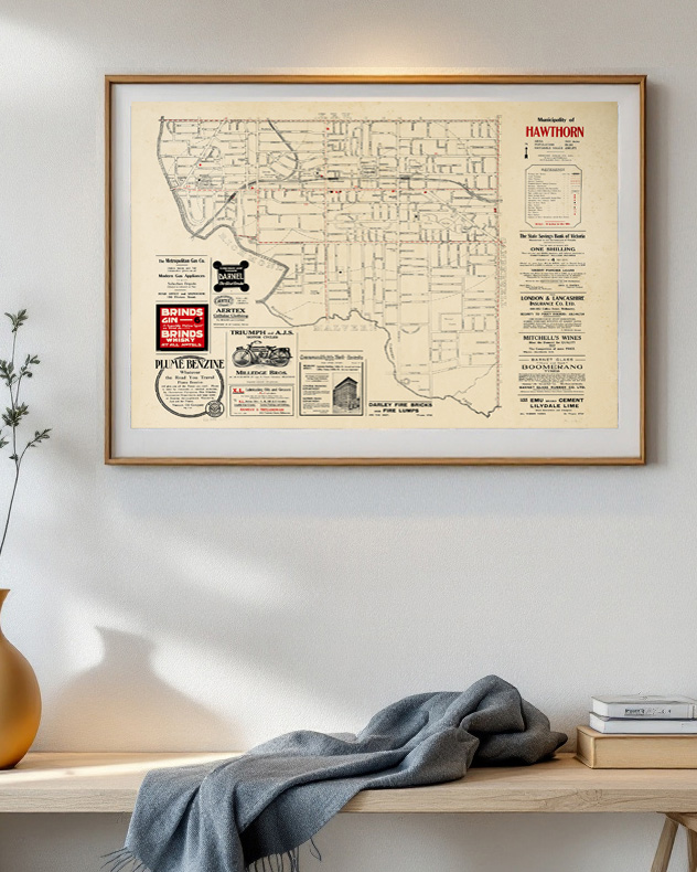


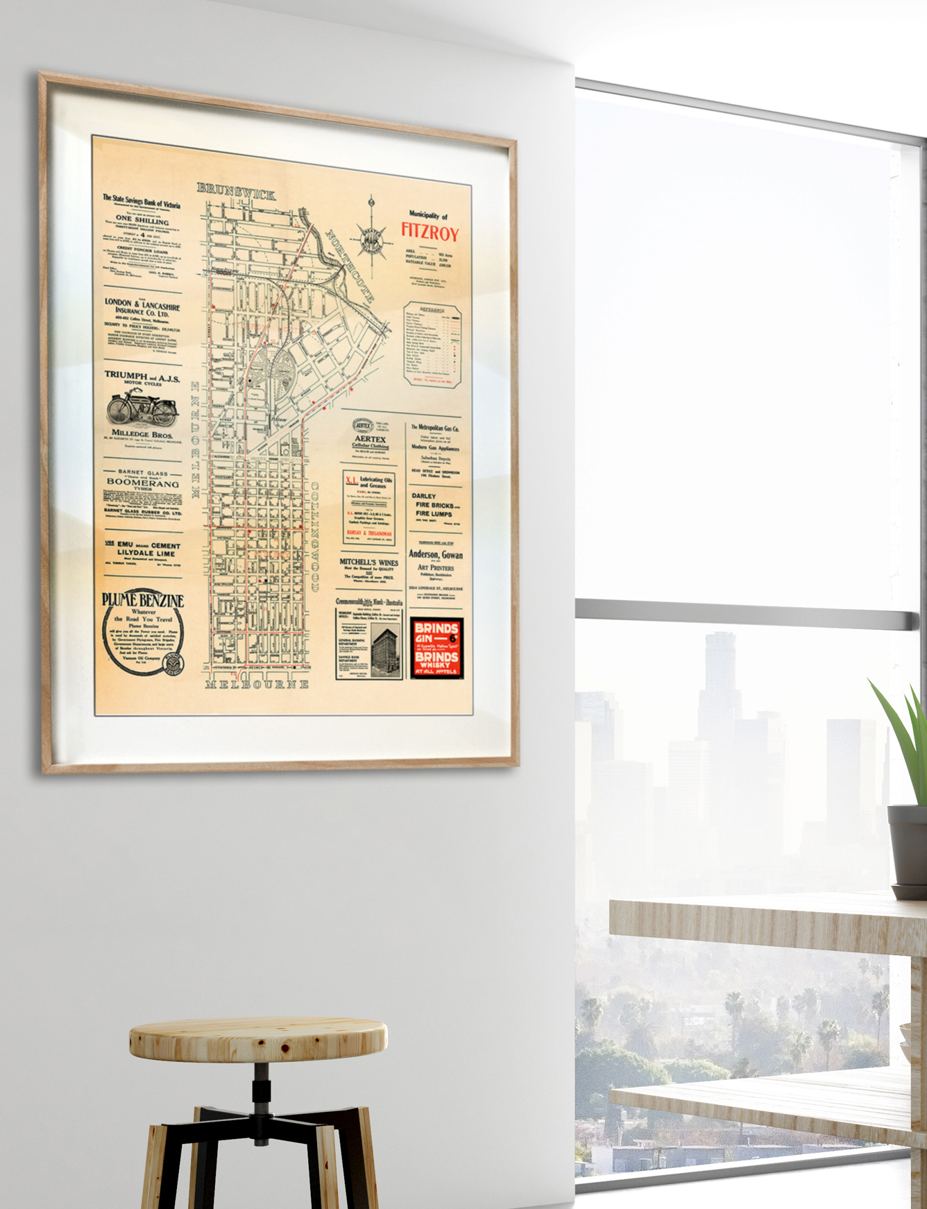

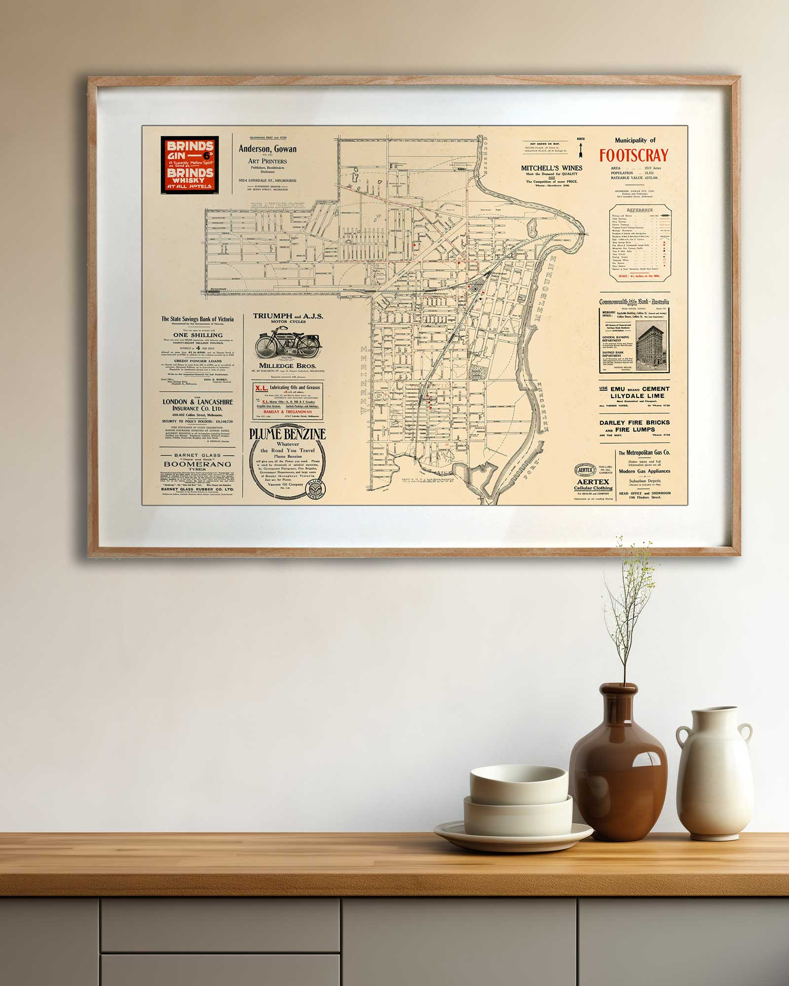
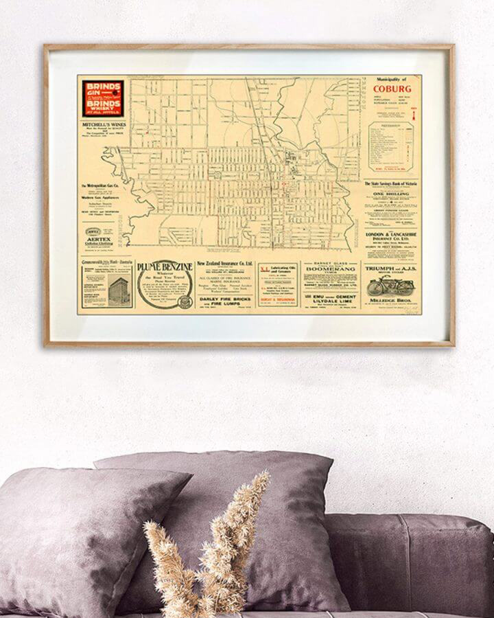
Find my street
Your town, your street, your home. Tell us the street and we’ll find the historical map that shows it.
More from the archive
Municipalities are only part of it
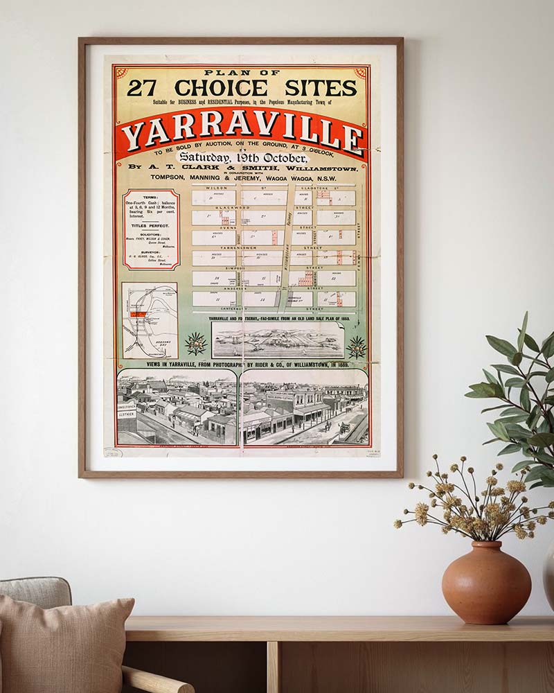
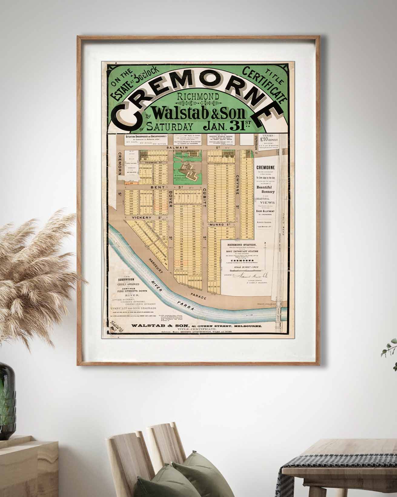
Township plans, seaside surveys, auction posters and transport maps. The same archival paper and pigment, the same hand-drawn detail, different ways of looking at a place.
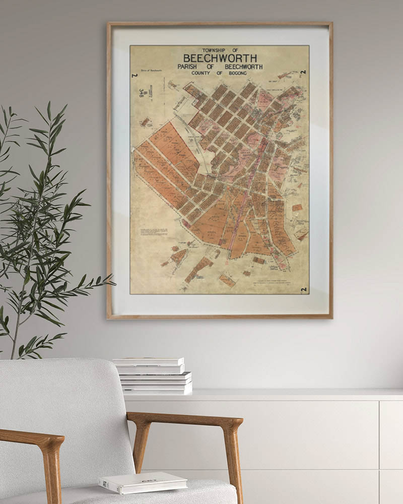
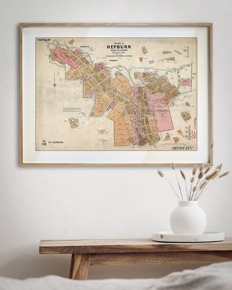
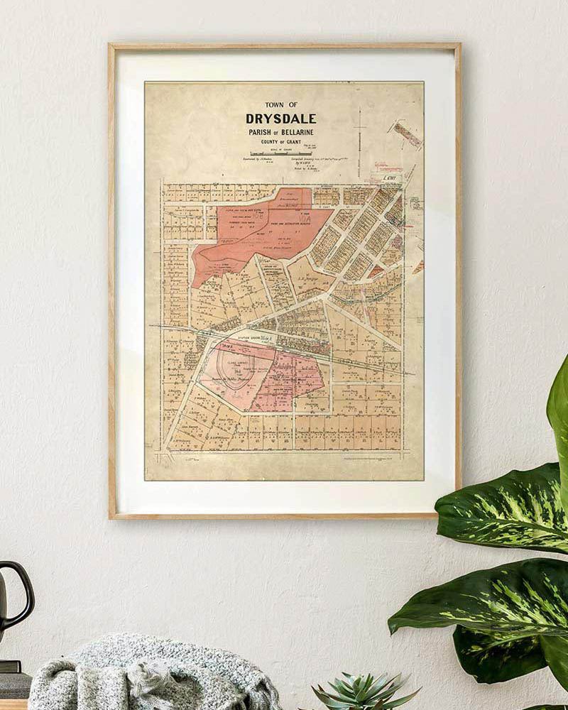
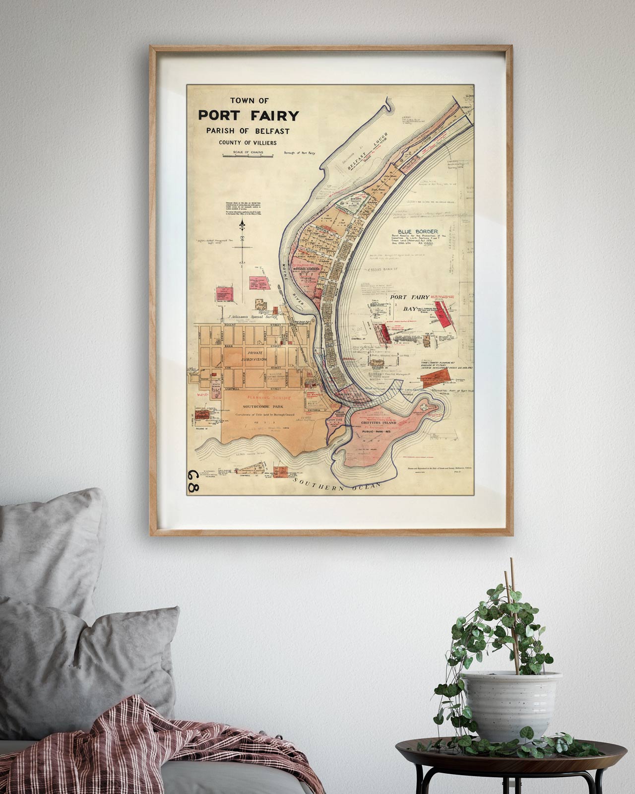
Township & parish plans
Surveyor’s plans of country towns, hand-coloured and annotated, showing allotments and original landholders.

Coastal & seaside towns
The bay and the surf coast as they were first laid out, before the holiday houses arrived.
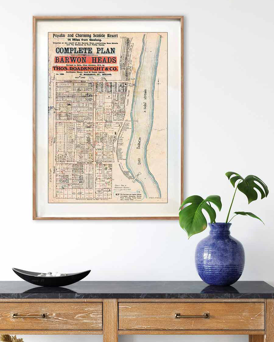


Auction plans & city maps
Estate posters drawn to sell land, and the maps that show how the city moved.