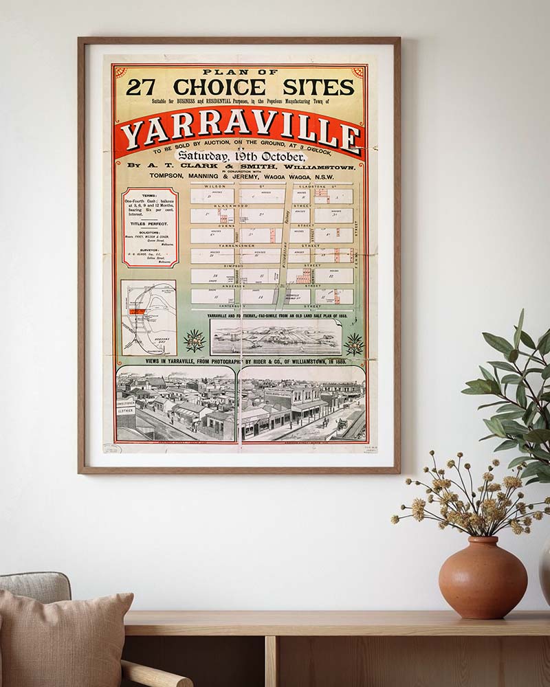
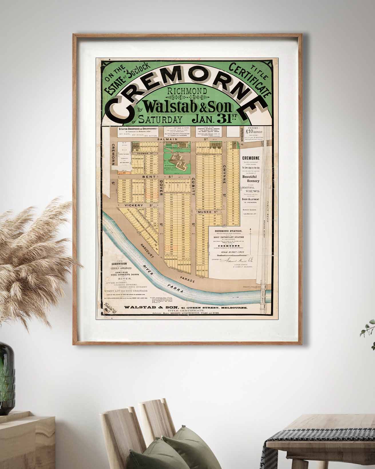
Bellarine Peninsula map prints
The bay, the ocean, and every street between
These Bellarine Peninsula maps are the surveys and estate plans that laid the towns out. Ocean Grove before the holiday houses, Queenscliff in 1853, the Barwon Heads estates drawn up to sell paddocks by the river.
Rolling hills and vineyards inland, rugged ocean beaches one side, calm bayside water the other. Every street name, every allotment, every landmark that stood when the surveyor packed up. Find the street you walk every summer.
Bellarine Peninsula maps, town by town
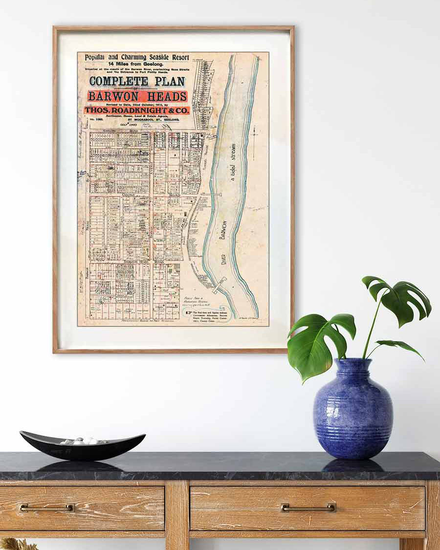


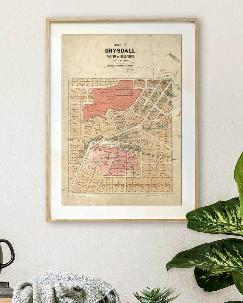


Find my street
Your town, your street, your home. Tell us the street and we'll find the historical map that shows it.
More from the archive
Beyond the peninsula
The same archival paper and pigment, the same hand-drawn detail, applied to the rest of the state. Suburb municipality maps, goldfields townships, and the plans drawn up to sell land.
Melbourne municipality maps
1920s Melbourne suburb maps showing every street, the tram lines, the parks and the landmarks of a century ago.
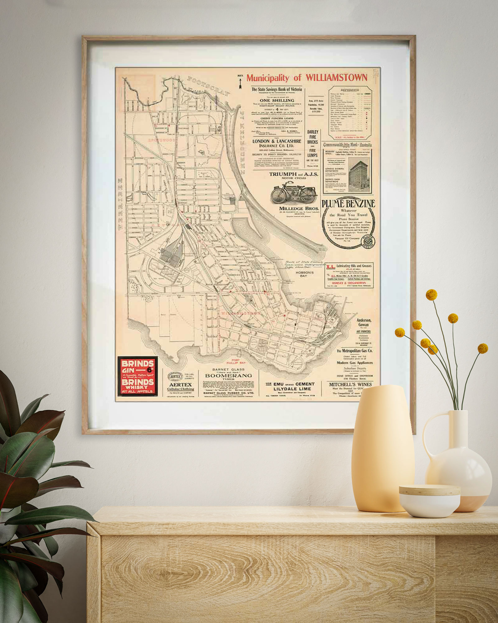


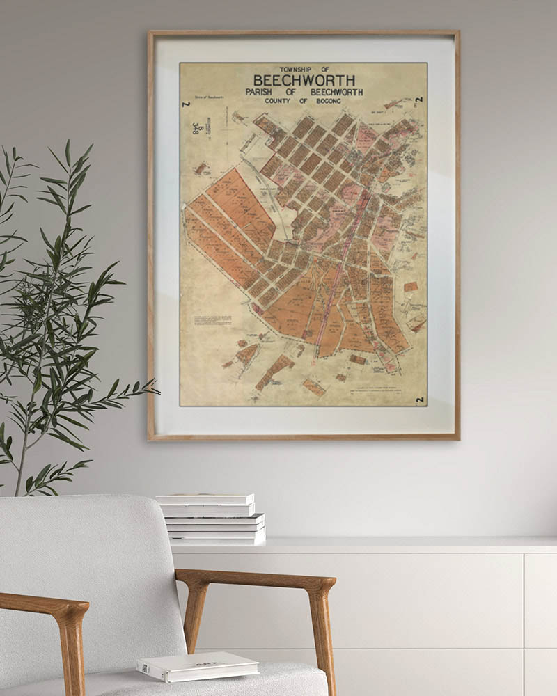
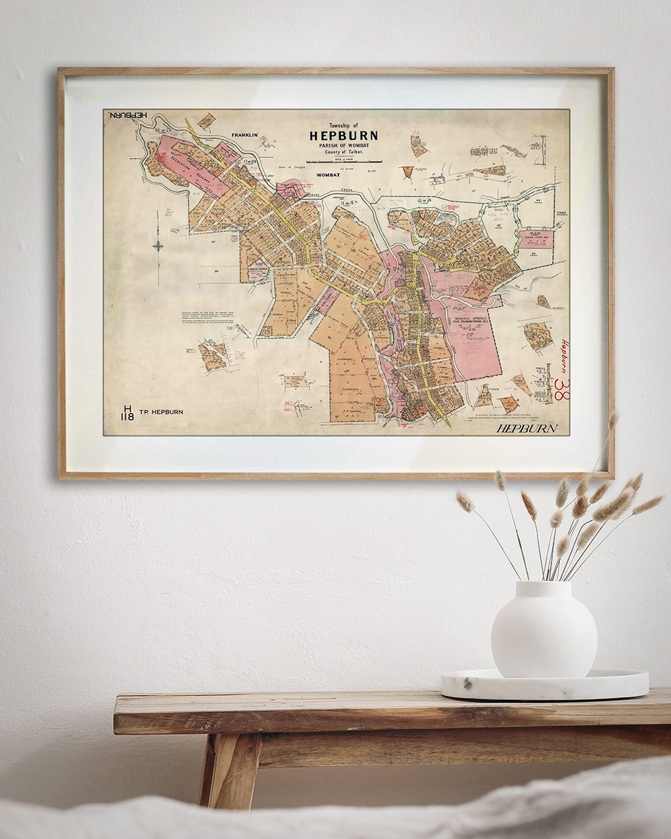
Township & parish plans
Surveyor's plans of country towns, hand-coloured and annotated, showing allotments and original landholders.


Auction plans & city maps
Estate posters drawn to sell land, and the maps that show how the city moved.